A brief history of South Molton
The area was first developed in the 1720s as part of Grosvenor’s creation of Mayfair and the expansion of London westwards. It formed the edge of Grosvenor's Mayfair estate, as it does today. This boundary was defined by the Tyburn River, which flows from Hampstead, runs beneath Marylebone Lane and South Molton Lane before heading south to join the Thames near Millbank Tower. It was culverted when the original development of the area began.
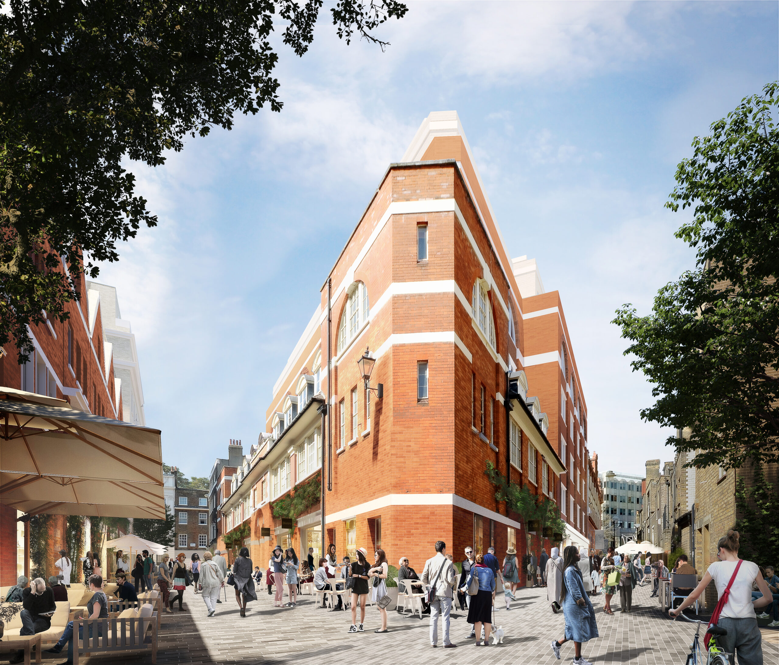
The area has always been characterised by a mix of uses and has constantly evolved as a distinctive area that connects Oxford Street, New Bond Street and Mayfair, with accessibility to the area further improved by the opening of the Elizabeth Line Bond Street station in October 2022.
For more information on Mayfair, today please click here to visit our MayfairLDN website
South Molton through the years
1720’s
Brook Street residential town houses built
1780’s
South Molton Street terraced houses built
1803
William Blake and his wife Charlotte move into the first floor of 17 South Molton Street, where they live for 18 years
1840’s
Grosvenor Market closes - Running Horse pub and two adjoining residential townhouses constructed
1902
North side of Davies Mews built to designs by Reginald Blomfield to house an extension of Bolding's factory
1920’s
Brookfield House (Corner of Davies St and Brook St) constructed
1940’s
56 Davies Street destroyed by a bomb
1950-1952
56 Davles Street rebuilt by James Miller and Partners
1977
Grays Antiques opens at 58 Davies Street
2018
Grosvenor commences consultation for the South Molton
2020
Planning application for South Molton submitted
2022
Bond Street’s new Elizabeth line station opens
2023
Demolition and construction works start on delivering South Molton
2027
South Molton completed and open to everyone